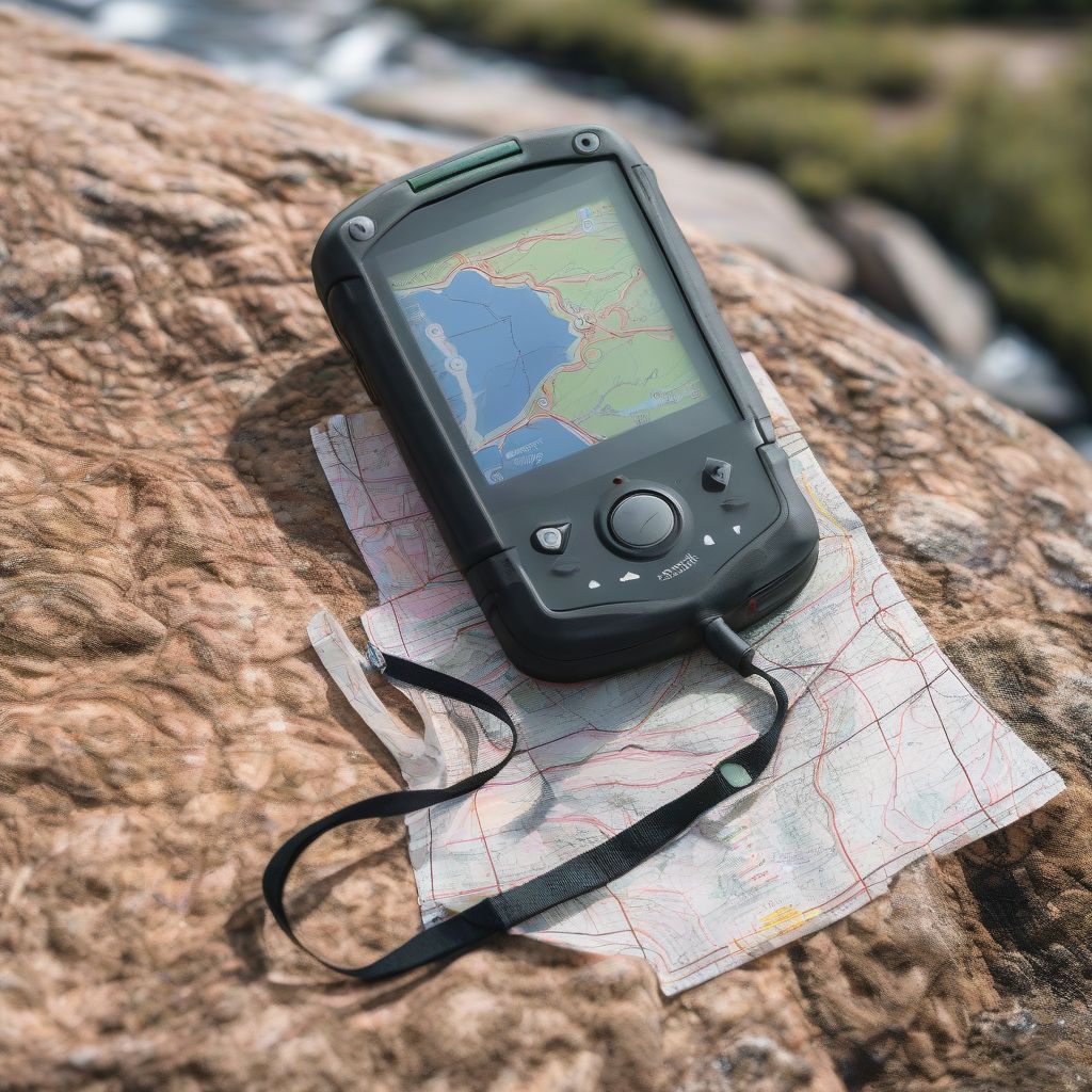
Picture this: you’re exploring a breathtaking mountain vista, the trail winding ahead through lush forests and sparkling streams. But wait, which way do you go? Don’t let getting lost turn your dream hike into a stressful situation. With the right tools and know-how, navigating trails using GPS and maps can become second nature. Whether you’re a seasoned hiker or just starting out, this guide will equip you with the skills and confidence to explore the great outdoors safely and enjoyably.
Understanding Your Tools: GPS vs. Maps
Before embarking on your next adventure, it’s crucial to understand the strengths of both GPS devices and traditional maps:
GPS: Your Digital Guide
A GPS (Global Positioning System) device, like a handheld unit or a smartphone app, uses satellites to pinpoint your exact location on Earth. This technology offers incredible benefits for trail navigation:
- Real-time Tracking: See your movements displayed on a digital map, showing you exactly where you are and where you’ve been.
- Route Planning: Plot your intended course in advance, ensuring you stay on track and reach your destination.
- Waypoints and Tracklogs: Mark points of interest, like scenic viewpoints or water sources, and record your journey to retrace your steps or share your adventures.
Maps: The Classic Companion
While GPS might seem like the ultimate solution, never underestimate the importance of a good old-fashioned map:
- Big-Picture Perspective: Maps provide a wider view of the terrain, helping you visualize the entire trail system and alternative routes.
- Reliability: Unlike electronic devices, maps don’t run out of battery or lose signal, offering a reliable backup in case of technical difficulties.
- Terrain Awareness: Topographic maps, in particular, use contour lines to illustrate elevation changes, giving you a clearer understanding of the challenges and beauty that lie ahead.
Combining Forces: Using GPS and Maps Together
For optimal navigation and safety, combining the strengths of GPS and maps is key:
- Always Carry Both: Pack a map and compass alongside your GPS device to ensure you have a backup navigation system.
- Plan Your Route: Before heading out, study the map to familiarize yourself with the terrain, potential hazards, and points of interest. Use your GPS to plan your route and mark waypoints.
- Regularly Calibrate Your Compass: Ensure your compass is calibrated to magnetic north to maintain accuracy.
- Cross-Reference Your Position: Frequently check your location on both your GPS and map to confirm you’re on the right track. Pay attention to landmarks and trail junctions.
Essential Tips for Successful Trail Navigation
Here are some pro-tips to elevate your navigation skills:
- Inform Someone About Your Plans: Always let someone know your intended route and estimated return time before hitting the trail.
- Learn Basic Map Reading Skills: Familiarize yourself with map symbols, contour lines, and declination to interpret terrain features and navigate effectively.
- Practice Makes Perfect: Don’t wait until you’re deep in the wilderness to test out your GPS or map-reading skills. Practice in a familiar area to gain confidence.
- Pay Attention to Your Surroundings: Stay aware of your surroundings, noting landmarks, trail junctions, and changes in vegetation.
- Trust Your Instincts: If something doesn’t feel right or you feel unsure about your location, stop, reassess, and if necessary, retrace your steps to the last known point.
 GPS and map on a mountain top
Mastering Your GPS: Features to Explore
Modern GPS devices and apps come loaded with helpful features:
- Track Back: This lifesaver retraces your recorded path, guiding you back to your starting point, even if you’ve veered off course.
- Waypoints: Mark important locations, such as campsites, water sources, or scenic viewpoints, for easy navigation and reference.
- Route Planning: Input your desired starting and ending points, and your GPS will generate a suggested route.
- Elevation Profiles: Visualize the upcoming terrain’s steepness and elevation changes, allowing for better pacing and preparation.
- Offline Maps: Download maps for offline use in areas with limited or no cell service.
Choosing the Right GPS App for Hiking
With countless options available, selecting the right GPS app can be overwhelming. Here are a few popular choices:
- AllTrails: This comprehensive app offers a vast database of trails worldwide, user reviews, and offline map downloads.
- Gaia GPS: Favored by experienced hikers, Gaia GPS provides advanced mapping features, offline navigation, and route planning tools.
- Outdooractive: Combining trail maps with information on points of interest, this app is great for discovering new adventures and planning detailed itineraries.
[amazon bestseller=”hiking gps”]
Conclusion
Navigating trails using GPS and maps is an empowering skill that opens up a world of outdoor adventures. By understanding the strengths of each tool, combining them effectively, and following these essential tips, you’ll confidently explore the wilderness. Remember, preparation is key—plan your route, pack the right gear, and inform someone about your whereabouts.
So, lace up those hiking boots, grab your map and GPS, and embark on unforgettable journeys! What are your favorite trail navigation tips? Share your experiences and questions in the comments below.
